Challenge
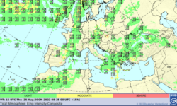
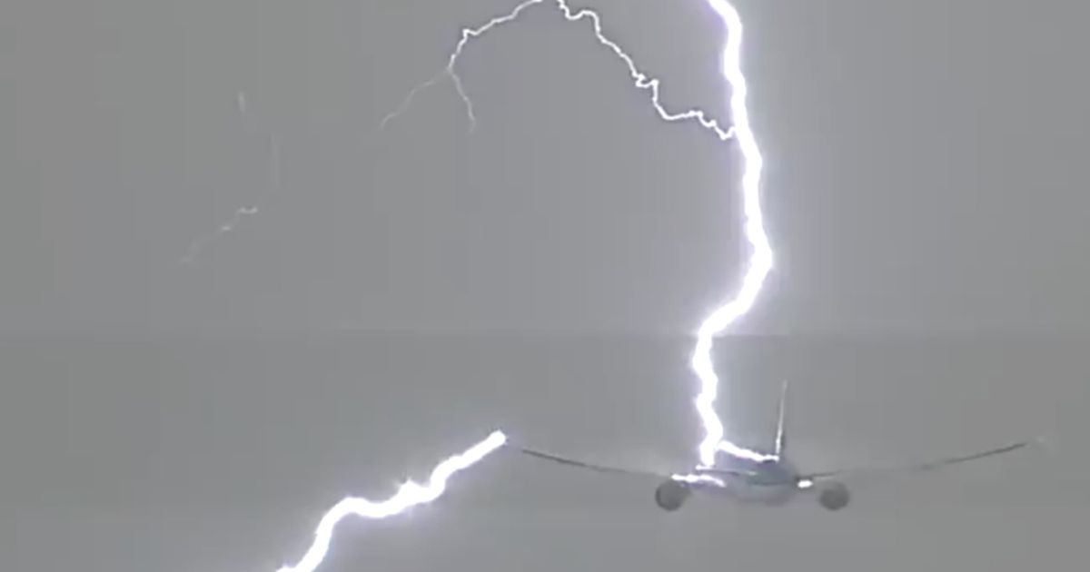 On average commercial aircraft are struck by lightning once every year. While aircraft are built to withstand the high currents, temperatures, and shock waves, such events put the public at risk, and there have been fatal accidents in the past due to lightning strikes. In addition, thunderstorms associated with lightning also produce strong turbulence, winds, hail and precipitation that also present a hazard to commercial flights. Hence, a better understanding of the flight paths relative to the thunderstorm locations is needed. The goal of this user task is to better understand the impact of thunderstorms and lightning on commercial aviation.
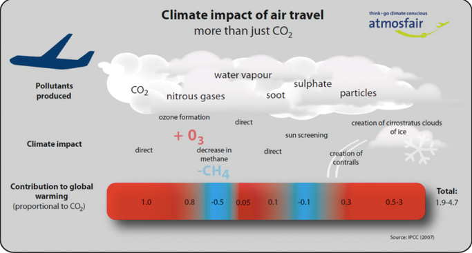 In addition, aviation has a large impact on the Earth's climate, due to amount of greenhouse gases emitted due to the burning of fossil fuels, together with the altitude of these emissions. For example, water vapour emissions at 10km altitude can impact cirrus cloud formation that have a warming effect on surface temperatures. Hence, optimizing the flight paths of civil aviation can not only increase safety of passengers and crews, but also reduce the greenhouse gas emission from re-routed flight paths around thunderstorms. The more direct the route, the less the impact on the environment.
Capabilities Demonstrated
The prototype holds timeseries of global lightning data. In the next step, these will be combined with global commercial aviation flight track data, to investigate the how civil aviation flight paths are impacted by thunderstorm activity. Climatologically we can assess the regions if highest risk to civil aviation on a daily, seasonal and annual basis.
Using our datacube analytics we will be able to investigate on an hourly basis the proximity of civil aircraft to thunderstorms, and the needed re-routing due to thunderstorms. How often do aircraft need to change their routes due to thunderstorms? How can we optimize these detours to minimize the extra flight times, fuel consumption, and costs, while maximizing the safety of the passengers and crew. Our stakeholders/clients would include commercial airlines, air traffic controllers, airports, military air force pilots.
Benefit
2022/06/01,00:00:00.081424,  5.3767, 104.7201,  9.9,  5
2022/06/01,00:00:00.087941, 37.2801, -96.6889,  6.8,  7
2022/06/01,00:00:00.137672,  8.8726,  -6.7182, 16.5, 10
2022/06/01,00:00:00.290597, 21.1893, 108.1259, 14.0, 10
2022/06/01,00:00:00.866412, -3.8126, -65.3147, 11.0, 11
2022/06/01,00:00:01.398320, 21.2041, 108.0417, 13.2,  6
2022/06/01,00:00:01.829602, 11.0596, 108.5330, 12.1,  6
2022/06/01,00:00:02.182197, 34.7167,-100.2397, 13.1,  7
2022/06/01,00:00:02.182191, 34.6832,-100.2681, 10.2,  6
2022/06/01,00:00:02.247310,  3.9669,   1.0282,  2.6,  5
2022/06/01,00:00:02.724799, 38.4360, -96.2429,  2.7,  7
2022/06/01,00:00:02.309791,  4.1512,   1.0845, 11.6,  5
2022/06/01,00:00:02.247309,  3.9374,   0.9308,  7.2,  6
Both the safety of civilian airlines (crews, passengers, hardware) will be enhanced by providing pilots and air controllers the best flight paths around thunderstorms well in advance, but the aircraft emissions can also be dramatically reduced if the alternative flight route is planned well in advance, and based on the nowcasting data of the thunderstorms along the flight path. Using machine learning and AI tools we may be able to automate the process of flight path optimization for avoiding flying too close to thunderstorms.
Demonstrator
By using the service you accept the Cube4EnvSec Terms & Conditions as well as the TAU terms and conditions.
Contact us for your individual demonstration!
Contributors
Lightning data by Tel Aviv University, Colin Price research group, service by rasdaman GmbH, project management by Constructor University L-SIS Research Group.
Visitors
Terms of Reference
This service is part of the Cube4EnvSec project whose Terms of Reference apply in full.
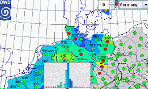
Image credits: DWD, TAU